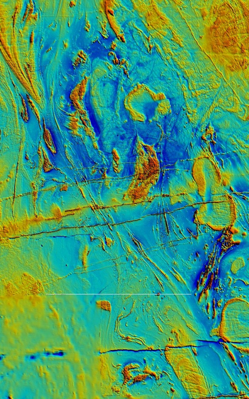
Without a doubt, mining targets represent one of the greatest challenges for geophysical exploration techniques. The complex structural, geochemical, and mineralogical characteristics are imprinted not only at depth in the deposits themselves, but also in the abrupt topographic relief that commonly accompanies them. Thus, in these objectives, both the lateral resolution achieved by geophysical techniques and the feasibility of incorporating direct observations in steep relief and underground become particularly important. In these scenarios, the greatest geophysical challenge is having geophysical inversion and visualization software appropriate for these conditions.
GGI’s research and development team has a long history of experience in the inversion and interpretation of geophysical data for mining targets, highlighting high-resolution aeromagnetic flight data and AGG data inversion software; as well as high-resolution magnetometric resistivity data, electrical logging and seismic refraction and borehole tomography data. Furthermore, current GGI technology can assimilate direct information from exploration drill holes and excavations, both open-pit and underground.

As developers of our own software, we can quickly adopt new interpretation methodologies tailored to the needs and circumstances of each stage of mining operations, from greenfields to reduce investment risks to brownfields to maximize profits.
Solutions
3D joint inversion of AGG, aeromagnetic and gravity data
- Three-dimensional joint inversion based on the cross-gradient methodology.
- Extension and in-depth monitoring of lineaments expressed on the surface.
- Delimitation of host rocks and areas with a high density of fractures and faults.
- Detection of intrusive bodies and hydrothermal alteration zones.

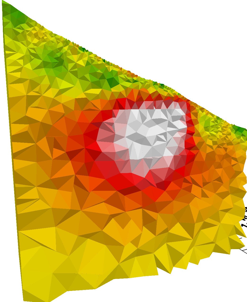
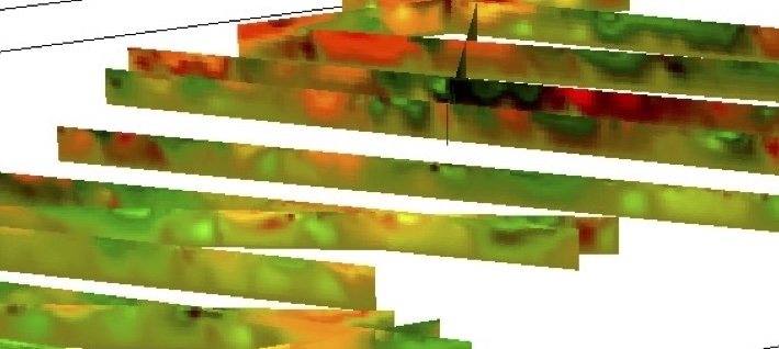
3D inversion of magnetometric resistivity data and ERT profiles in mining
- Three-dimensional inversion based on the finite element method.
- High-resolution lateral resistivity variation mapping for the identification of faults, fractures and mineralized zones.
- Detection of the presence of water and monitoring of groundwater flow channels.

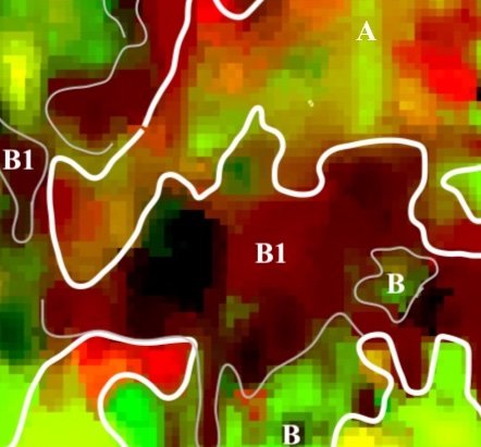
Joint 2D inversion of electrical, potential, seismic, well and borehole lithology data
- Two-dimensional joint inversion based on the cross-gradient methodology.
- Integrated interpretation of geological structures, lineaments, intrusive bodies, alteration zones, and lithologies based on the combination of multiple physical properties.

