Identifying the quantity, quality and flow capacity of water present in underground reservoirs is vital for the sustainable use of this natural resource. Geophysical exploration methods support us both in the search for this vital liquid and in understanding its interaction with the geological environment that hosts it.
At GGI we offer a wide variety of specialized services to interpret geophysical data in the greatest possible detail, both individually and jointly inverted to address geohydrological objectives such as:
Solutions
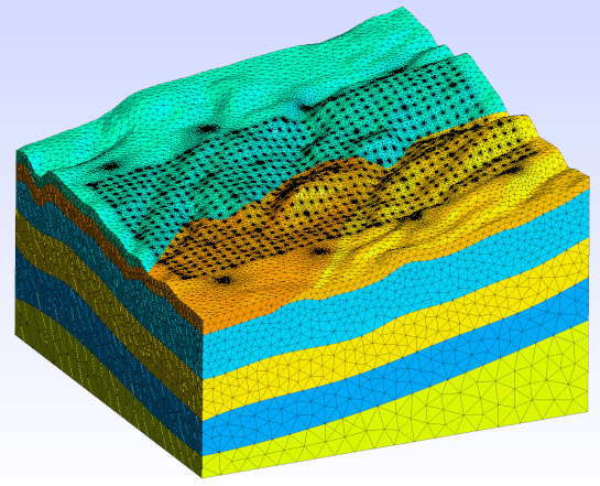
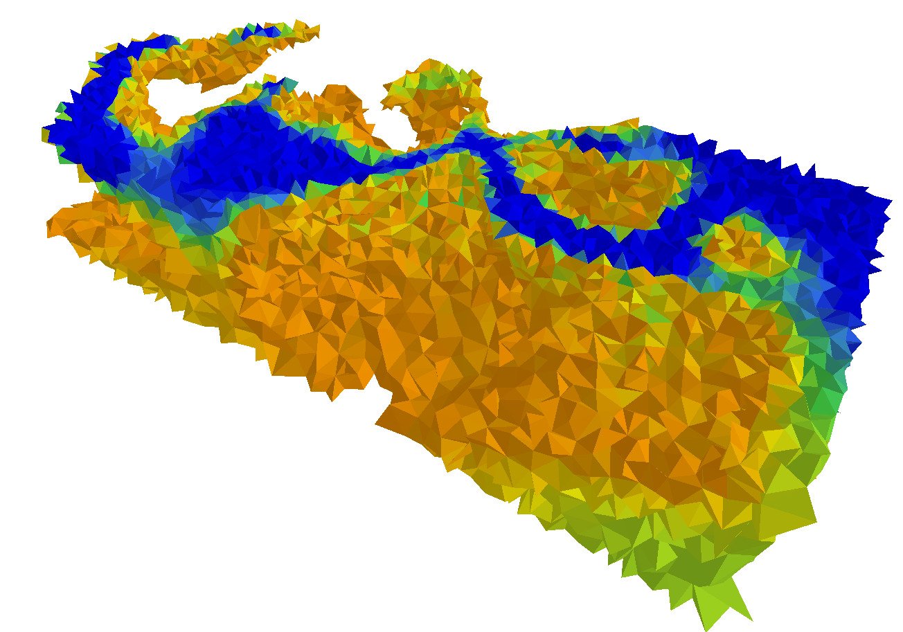
3D inversion of DC resistivity data in geohydrology
- Suitable to any electrode configuration (Dipole-dipole, Schlumberger, etc).
- Interpretation of all types of special 3D electrode arrays, down-hole and on abrupt topographic relief.
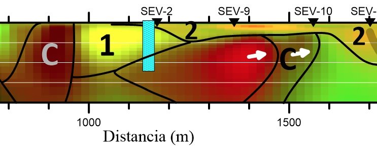
- 2D Cross-gradient joint inversion of DC and AMT data in combination with seismic refraction, gravity and/or magnetic data.
- 3D joint inversion of gravity and magnetic data.
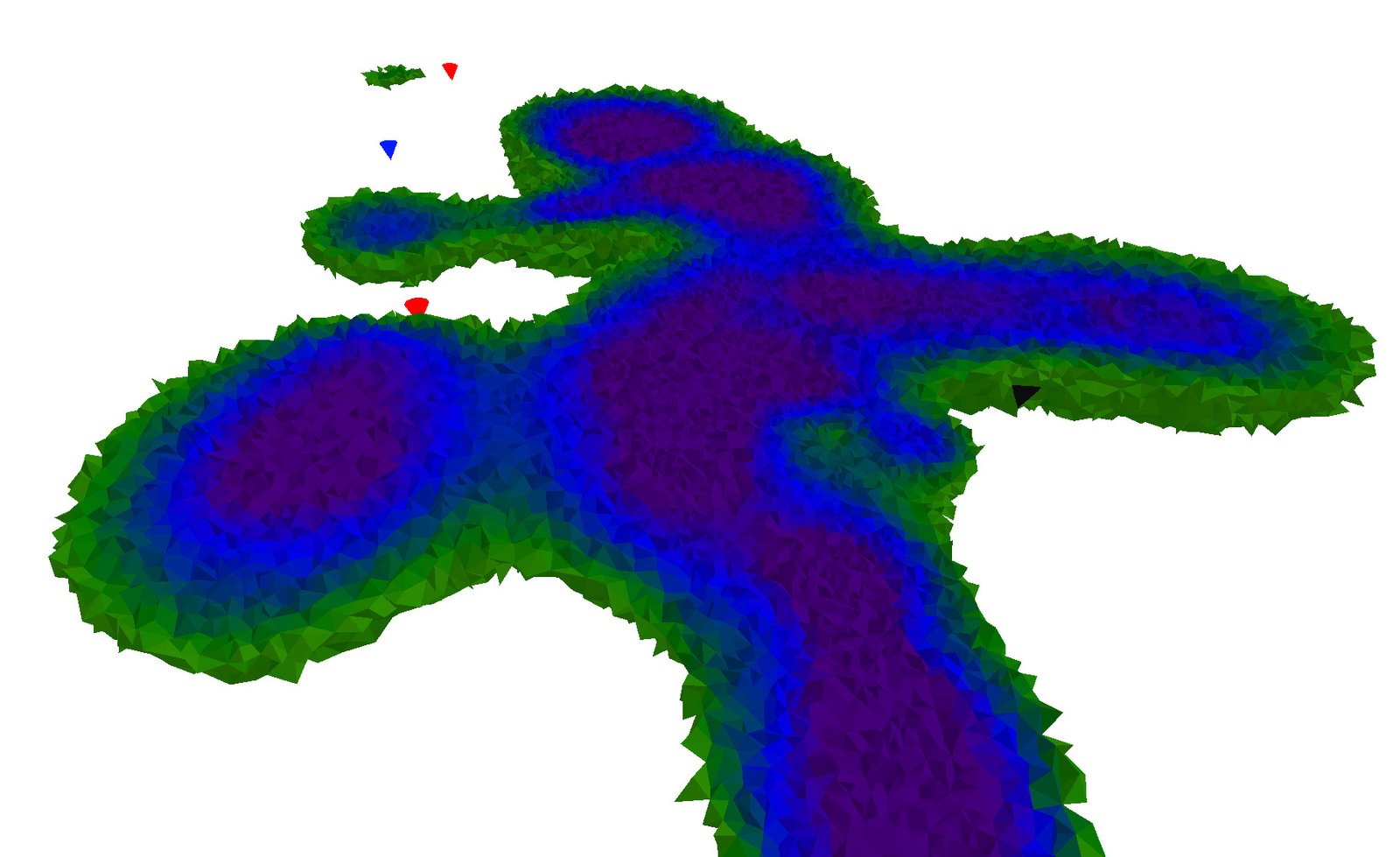
3D inversion of transient electromagnetic data.
- Suitable to any three-dimensional loop configuration (in-loop, central loop, etc.).
- Applicable even in loops with irregular geometry and loops placed in areas with steep slopes.
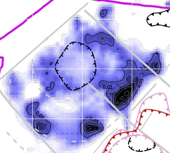
3D inversion of AMT/MT data for geohydrological targets
- Three-dimensional inversion of AMT/MT data based on the finite element method.
- Simultaneous inversion of apparent resistivity, phase and tipper.
- Specialized visualization strategies for the delineation of underground channels and shallow aquifers.